
Review article
Assessing and mapping barangay-level social vulnerability of Tacloban City and Ormoc City to climate-related hazards
DOI:
https://doi.org/10.18783/cddj.v001.i01.a04Abstract
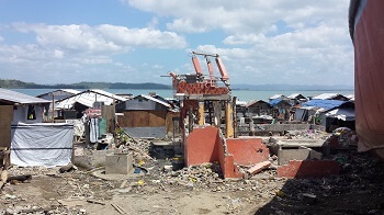
The destruction left by Typhoon Haiyan in the Philippines highlighted not only the exposure of the country but also the underlying vulnerability of barangays (villages) to climate-related hazards. This study utilized Geographic Information System (GIS) to characterize social vulnerability to climate-related hazards of barangays of Tacloban City and Ormoc City using a modified social vulnerability index (SoVI). The SoVIused socio-economic data mainly drawn from census and was computed from eleven indicators influencing sensitivity, adaptive capacity and exposure. Social vulnerability varies spatially across the study areas, where Barangay 88, the worst-hit barangay in Tacloban and Barangay Naungan in Ormoc, recorded the highest vulnerability scores. Significant demographic and socio-economic shifts are likely in both cities, given the population growth and increasing density of settlements already concentrated in hazard-prone barangays. Measures to reducing vulnerability should be a local priority and would require political will for community-based climate action, disaster risk reduction and management, and risk-sensitive land use development. This study provides an approach for assessing social vulnerability using available census and climate-related hazard data to determine areas for intervention at the barangay level.Downloads
Download data is not yet available.
Published
2015-12-29
Issue
Section
Review article
How to Cite
Luigi L. Toda, Justine Ravi C. Orduna, Rodel D. Lasco, & Carlos Manuel Tito Santos. (2015). Assessing and mapping barangay-level social vulnerability of Tacloban City and Ormoc City to climate-related hazards. Climate, Disaster, and Development Journal, 1(1). https://doi.org/10.18783/cddj.v001.i01.a04